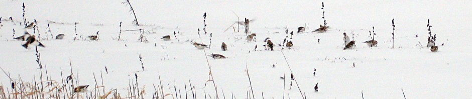
We have two maps of our count circle created by Dan Stimson, Assistant Director of Stewardship at Sudbury Valley Trustees and one map provided by National Audubon that shows all the count circles. Our user friendliest map shows the count circle and the town boundaries superimposed on a familiar Google street map. The important features are here: lakes, ponds, and streams, conservation areas and roads.
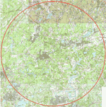 ← Cartography nerds who prefer a physical map with more detail may download a USGS topo from this site to their computers. Download CCBC Quad Map.
Please send us links you think CCBC volunteers might find informative and educational. We would like to publish them below.

You must be logged in to post a comment.